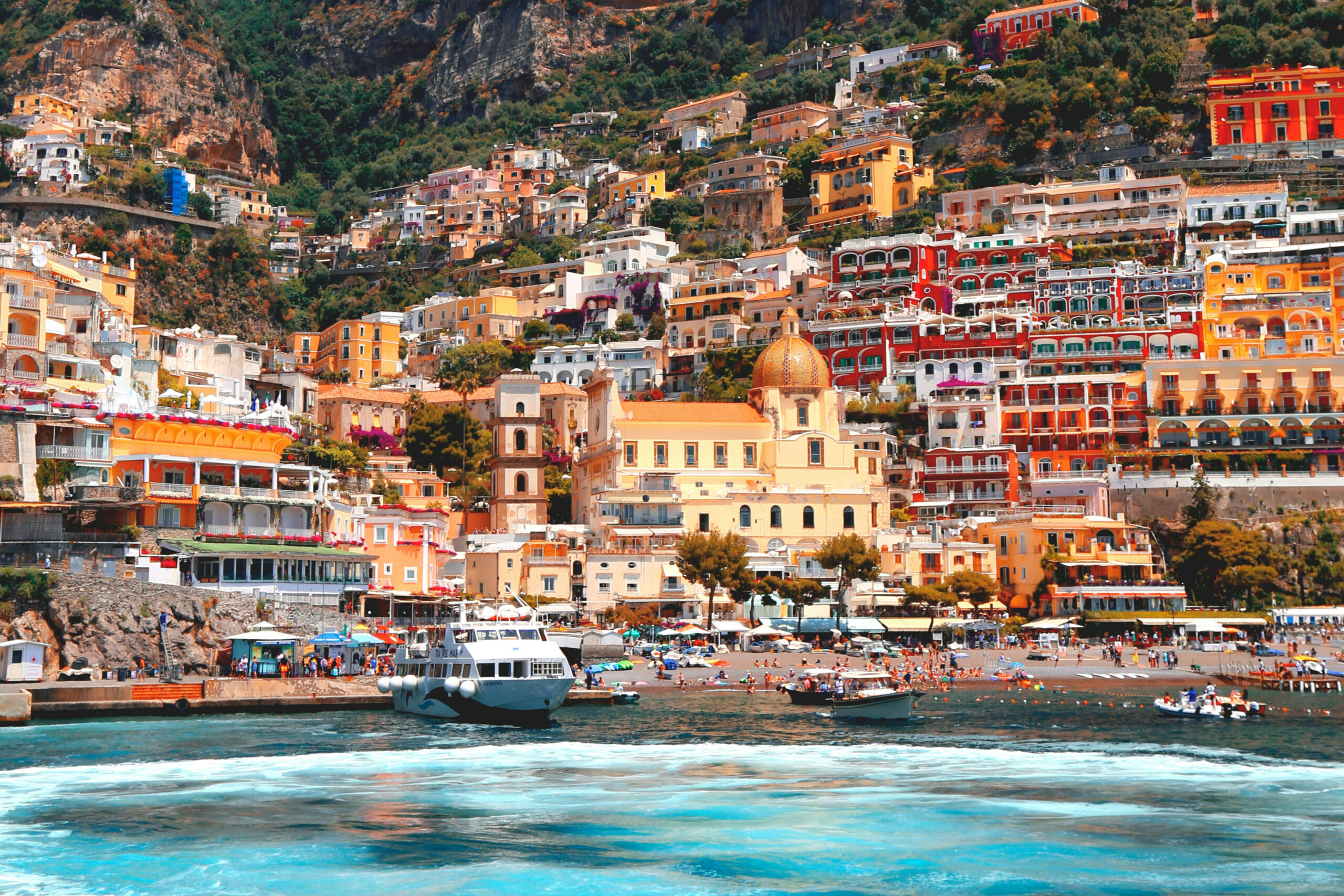
Coming to the Amalfi Coast?
Let me show you around.
Where to stay, where to swim and how to get from one lovely place to the next. A little local help for your days here.
“Lovely. But how do we get there?”
You find a little beach you’d love to visit. Then come the questions. Can we walk there? Is there a boat? Can we bring our own towels, or do we need to book a sunbed?
That’s the idea behind amalfimap.com: places worth knowing about, with the details you need to enjoy them. I bring those details into the guides and the places together on a map, so you can work out a day that suits you.
And yes, where to stop for something good to eat matters too.
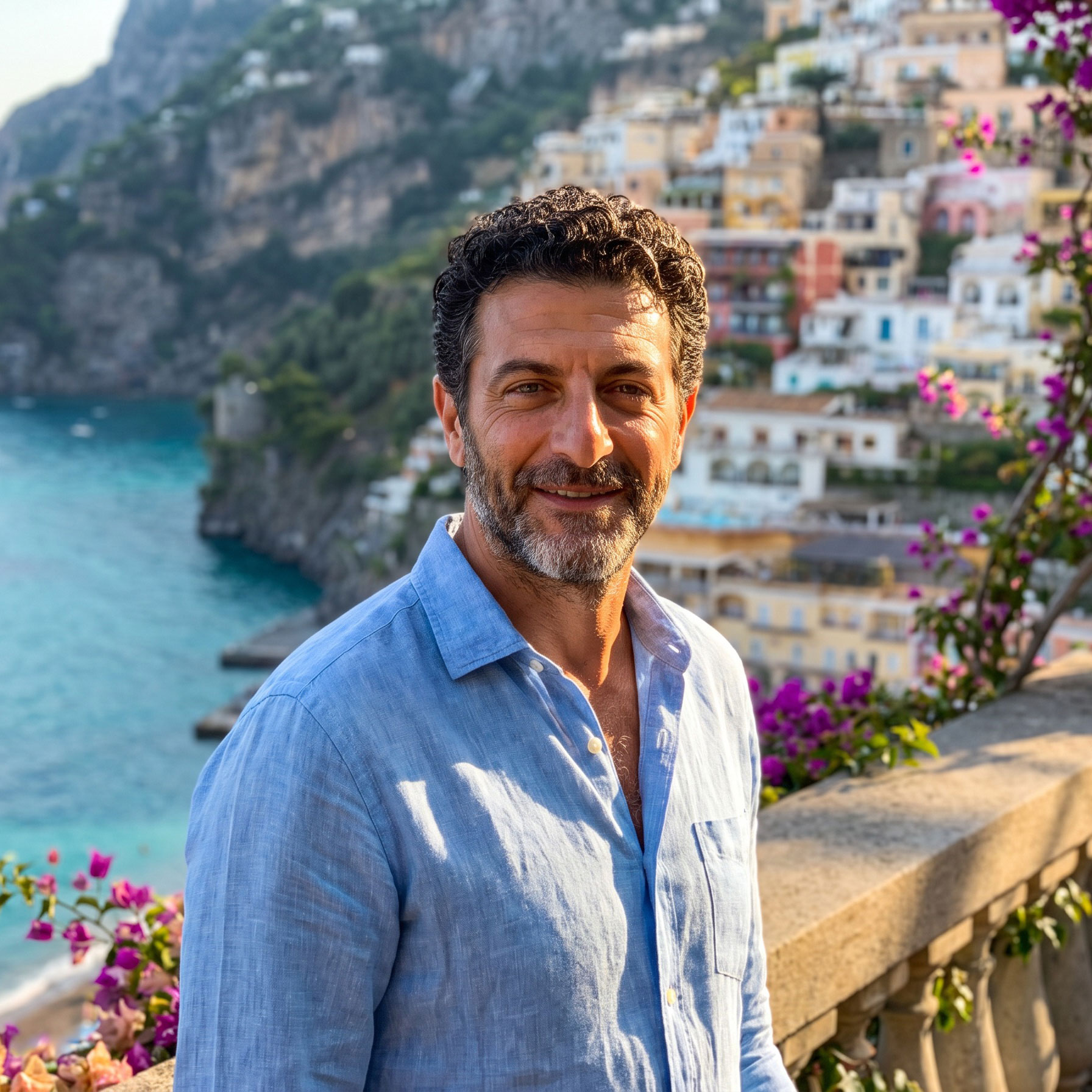
Hi, I’m Marco.
I spent 28 years on the Amalfi Coast. Here, I share the places I know and the advice I’d give a friend coming to visit.
Fancy a morning in Ravello? I’ll help you sort out the journey. Prefer a towel on the pebbles and a swim before lunch? There’s plenty of that here, too.
Have a look around. I hope you find a few places that feel like your kind of coast.
Buona vacanza!
Marco
What have you got in mind?
Let’s start with somewhere to stay. The swimming can follow.
Somewhere you’ll love staying.
A busy little square or a quiet evening terrace? Let’s find a town that feels right for you.
Where to stay →A day out along the coast.
Hop on a boat, explore another town and keep an eye on the last sailing home.
Find your ferry →A proper beach afternoon.
Bring your own towel or settle into a sunbed. Here’s where to go for a lovely few hours by the sea.
Pick your swimming spot →Help you feel at ease here.
Knowing which boat to catch, where you’re staying and what’s worth the walk makes a difference. Once those bits are sorted, you can settle into your holiday.
My tip: Give yourself a whole afternoon somewhere you like. Have lunch, wander a little, go back for another swim. That’s a day well spent.
I’m still adding to this little guide. Spotted something that’s changed, or have a place you’d like me to cover? Drop me a line.